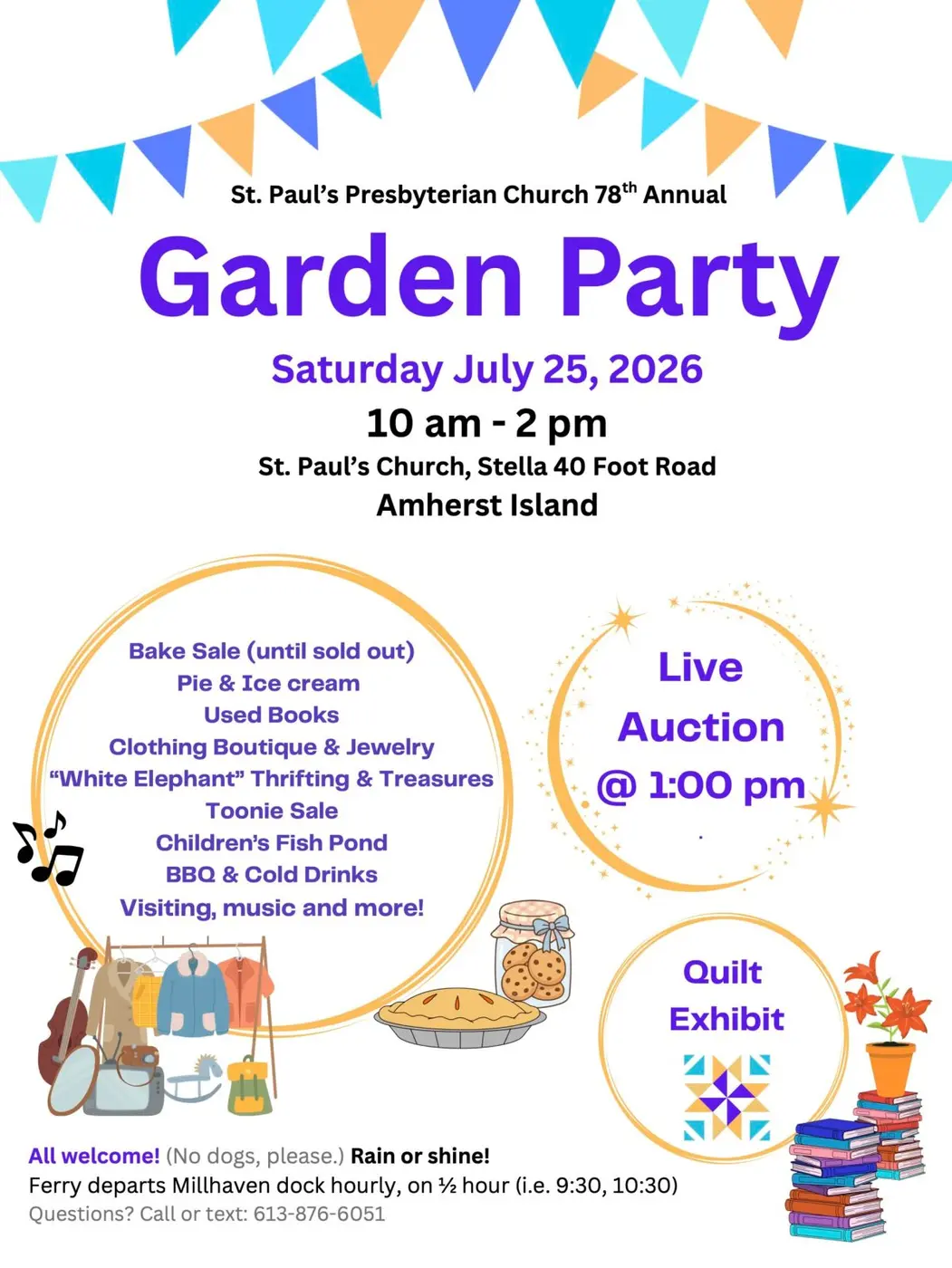
Community gathering
St. Paul’s 78th Annual Garden Party
10:00 am–2:00 pm · St. Paul’s Presbyterian Church
Event details →Come ashore
Follow the roads beyond Stella through working farms, old stone walls, wetlands, beaches and historic places, with Lake Ontario appearing around nearly every turn.
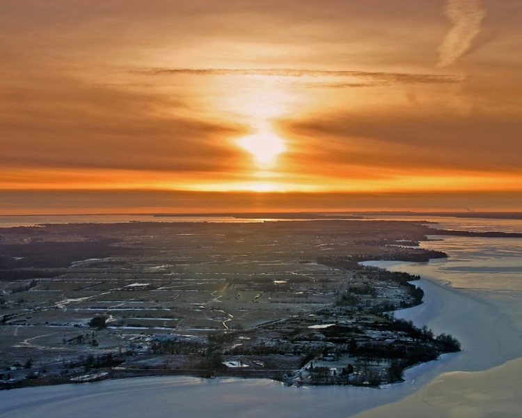
First, get your bearings
Amherst Island lies a short ferry crossing from Millhaven, west of Kingston. It stretches more than 20 kilometres from Bluff Point to Amherst Bar, with Stella on the protected north shore and Emerald farther west.
The island’s roughly 66 square kilometres hold farms, pastures, woodlands, wetlands, limestone shore, small public parks, and a year-round community. Many beautiful-looking fields, beaches, woods, walls, and lanes are private property, so knowing where public access begins and ends matters.
Go deeper
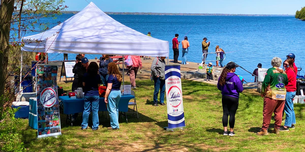
Make a day of it
What to do, what to bring, where to find food and supplies, and the island courtesies worth knowing before you arrive.
Explore this guide →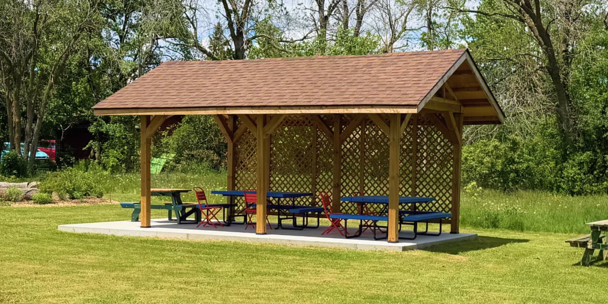
Parks, beaches & landmarks
Find waterfront parks, conservation areas, community grounds, docks, and places with special access conditions.
Explore this guide →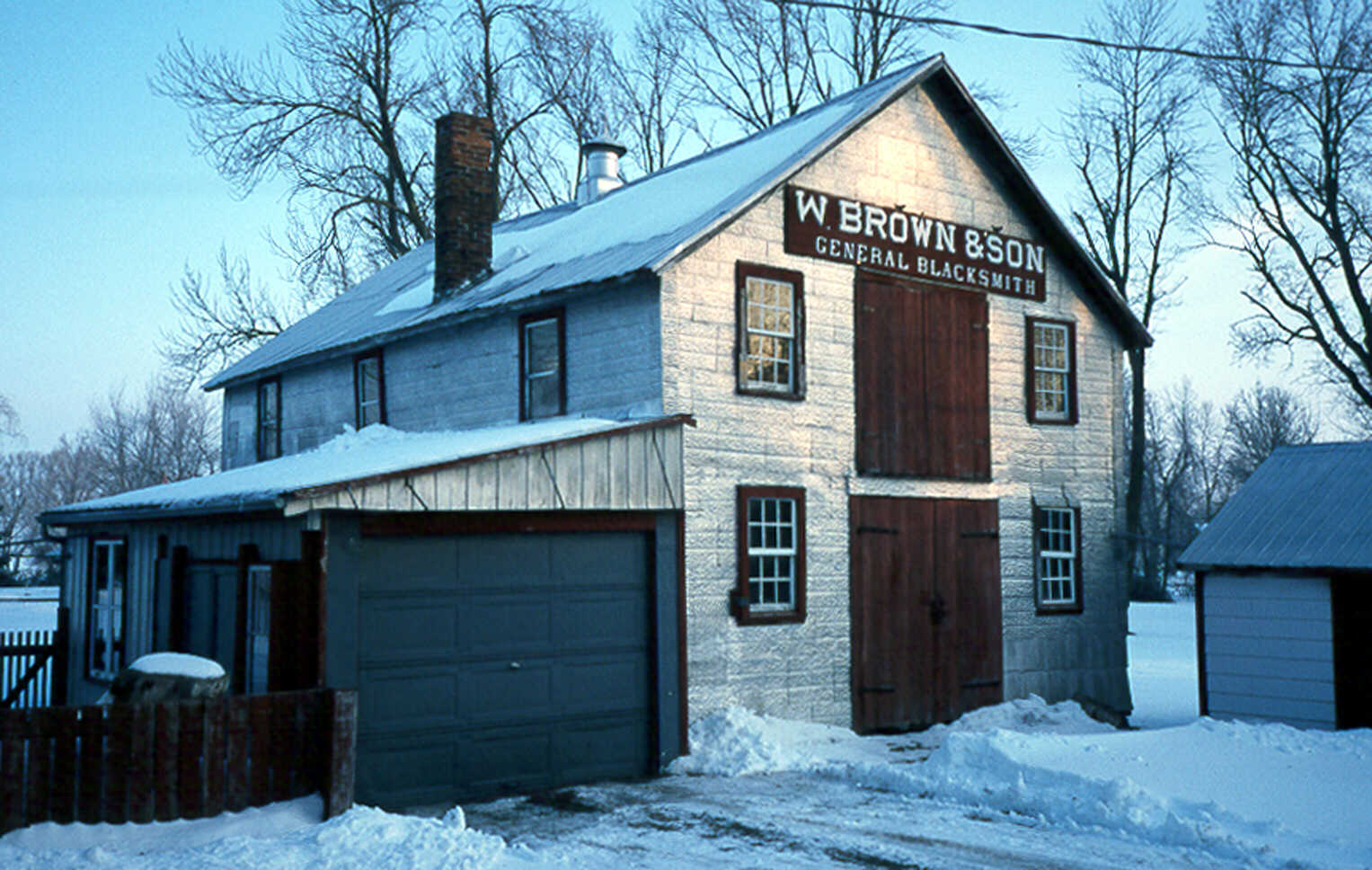
The island’s story
Trace the island’s settlement, Irish connections, farming and maritime history, dry stone walls, and enduring landmarks.
Explore this guide →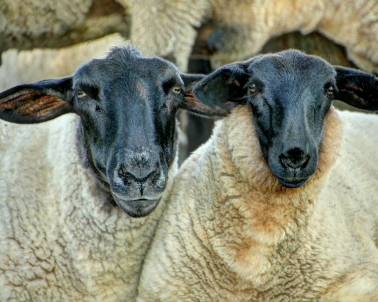
Lake, land & life
Meet the shorelines, wetlands, pasture, woods, birds, animals, weather, and seasons that shape island life.
Explore this guide →Find your way
Explore island landmarks, public places, businesses, and other points of interest. Select a marker for more information.
The island in motion
Community gathering
10:00 am–2:00 pm · St. Paul’s Presbyterian Church
Event details →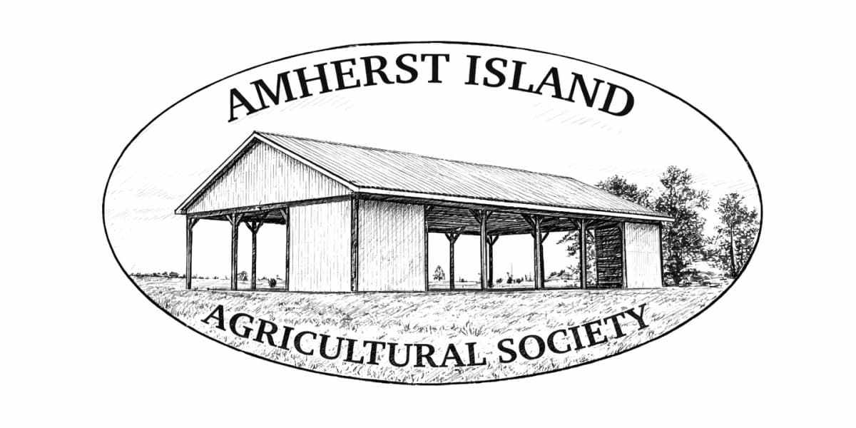
Market
10:00 am–noon · Centennial Park and the Agricultural Pavilion
Event details →
Visit with care
Enjoy the island from public roads, marked trails and clearly identified public areas. Give farm vehicles and livestock plenty of room, keep dogs controlled, and take everything you bring with you.
Fields, stone walls, woods and shorelines may be privately owned even when they appear open or accessible. Please obtain permission before entering private property.
Read the visitor guide